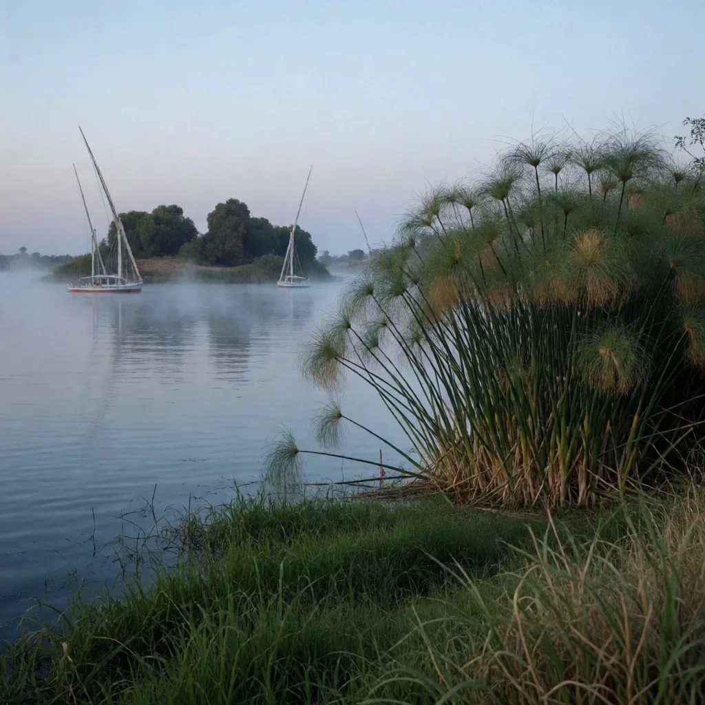
Nile River Banks
The Nile is a ribbon of life that sustains the entire country. Beyond the cities along its banks, the natural stretches of the river offer a serene and lush environment often overlooked. For the traveller into Egypt, these riverbanks reveal how water transforms desert into a verdant paradise — from the granite boulders of Aswan to the reed beds of the Delta.
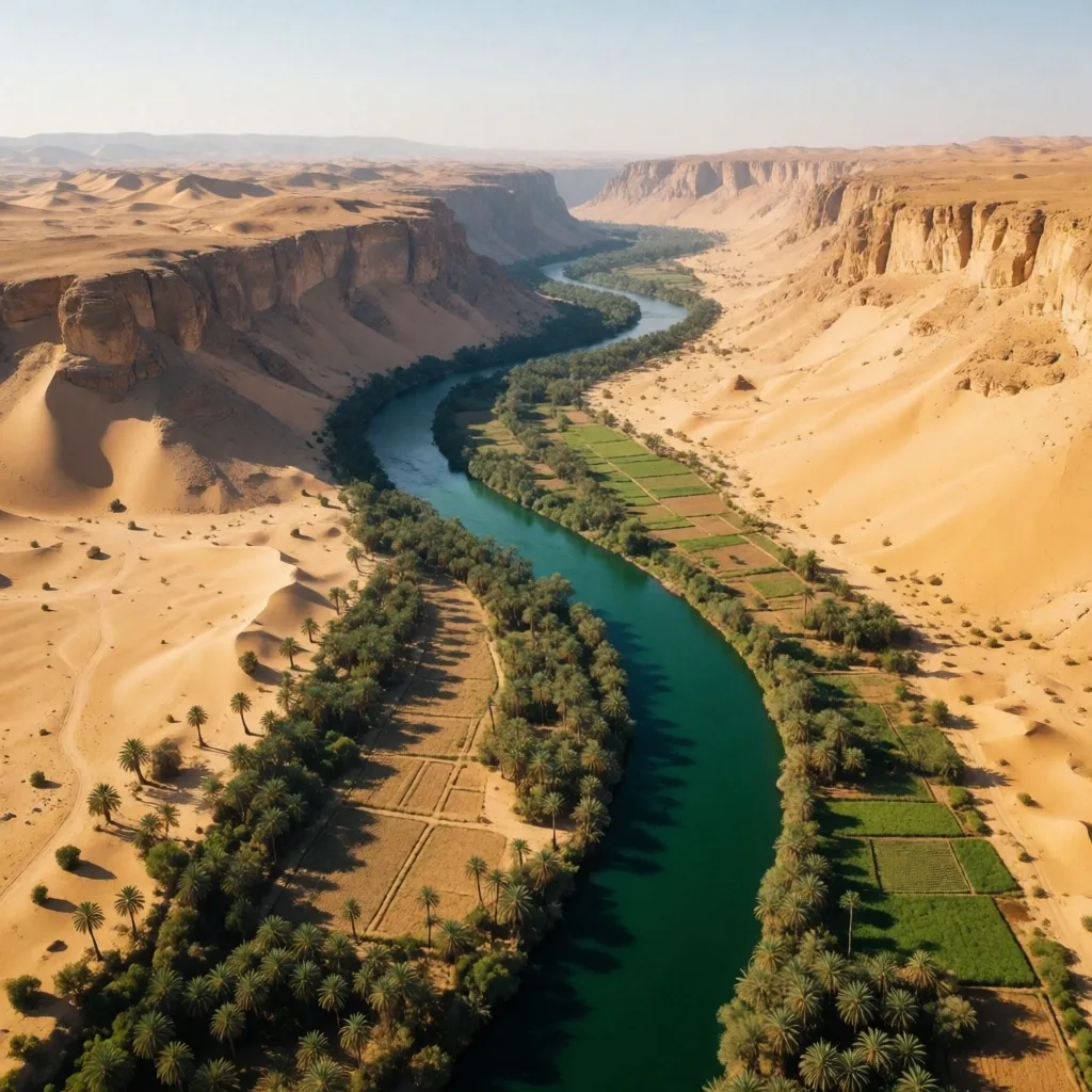
The valley narrows in Upper Egypt, widens toward the Delta
The River's Path
The Nile flows from south to north, carved into a valley that varies in width from a few kilometers to over twenty. The river carries nutrient-rich silt that has fertilized the banks for millions of years. In Upper Egypt, the valley is narrow and bordered by high cliffs. In the north, it opens into the vast expanse of the Delta.
Understanding the geography helps you appreciate the different environments the river creates. The cliffs compress the green into a narrow band, intensifying the contrast between water and stone. Further downstream, that band relaxes, spreading into channels and marshes.
Our egypt travelling guides provide a roadmap for exploring these diverse riverine landscapes, noting where the terrain shifts and what to look for along each stretch of the waterway.
Upper Egypt
Narrow valley, high cliffs, swift current near the cataracts
Middle Reaches
Wider valley, cultivated banks, stable water level year-round
The Delta
Fan-shaped wetlands, branching channels, meets the sea
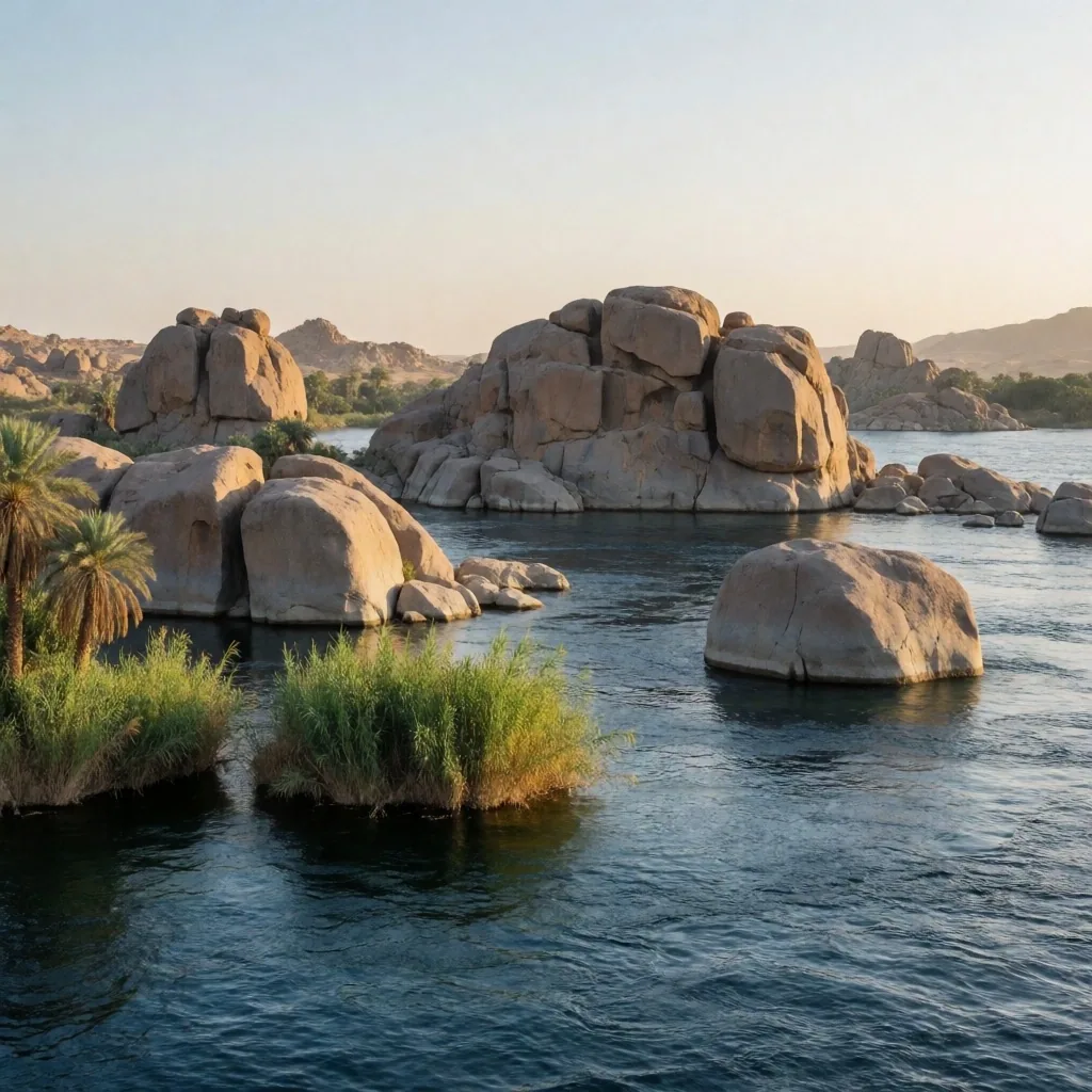
The First Cataract
Near Aswan in the south, the Nile passes through a series of granite islands and boulders known as the First Cataract. This is one of the most beautiful parts of the river, where water weaves through giant smooth stones and lush green islands. The current runs swifter here, and the landscape feels rugged and ancient.
The islands — including Elephantine and Kitchener's — are home to rare plants and offer a quiet escape from the mainland. Exploring by small boat lets you see the river's power and beauty up close. The granite surfaces, polished by millennia of water, catch the light differently at every hour.
For the traveller into Egypt who wants to understand the Nile at its most elemental, the cataract region is where the river shows its geological character most plainly. The stone is the skeleton of the valley; the water is its pulse.
What to Look For
- Smooth granite boulders rising from the current, some taller than a person
- Small islands with dense reeds and rare plant species clinging to rock crevices
- Swift, clear water that runs differently from the calmer middle reaches
- Kingfishers and herons hunting in the shallows between the rocks
Riverine Vegetation
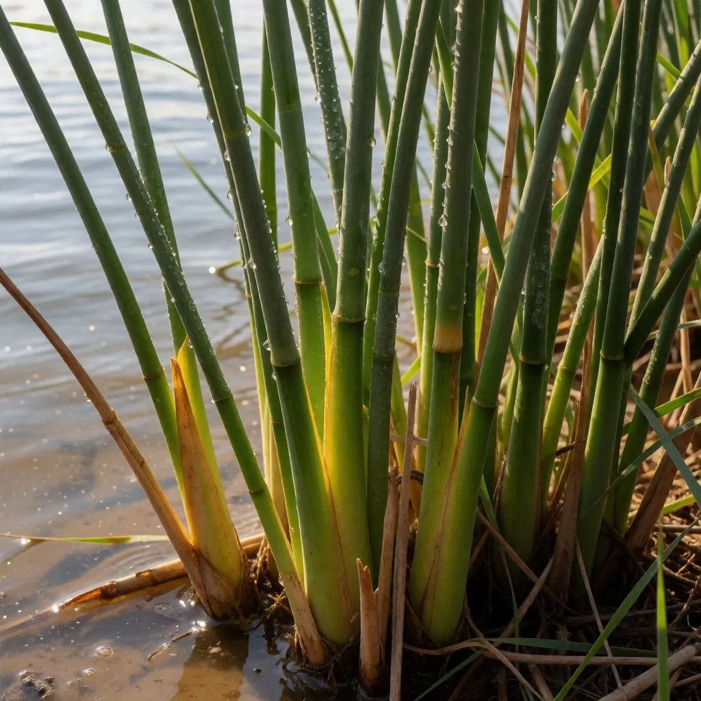
The banks of the Nile are home to a specific suite of plants that thrive in wet soil. Papyrus, once used to make ancient paper, can still be found in some areas, along with reeds and aquatic grasses. Date palms and sycamore fig trees line the shore, providing shade and fruit. In the cultivated areas, the green is intense and vibrant — a sharp contrast to the brown hills that frame the valley.
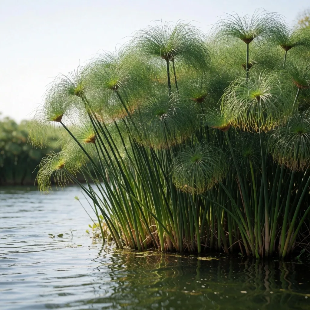
Papyrus
Tall triangular stalks with feathery tops, found in sheltered shallows
Reeds & Grasses
Dense stands that stabilize the bank and shelter small fish
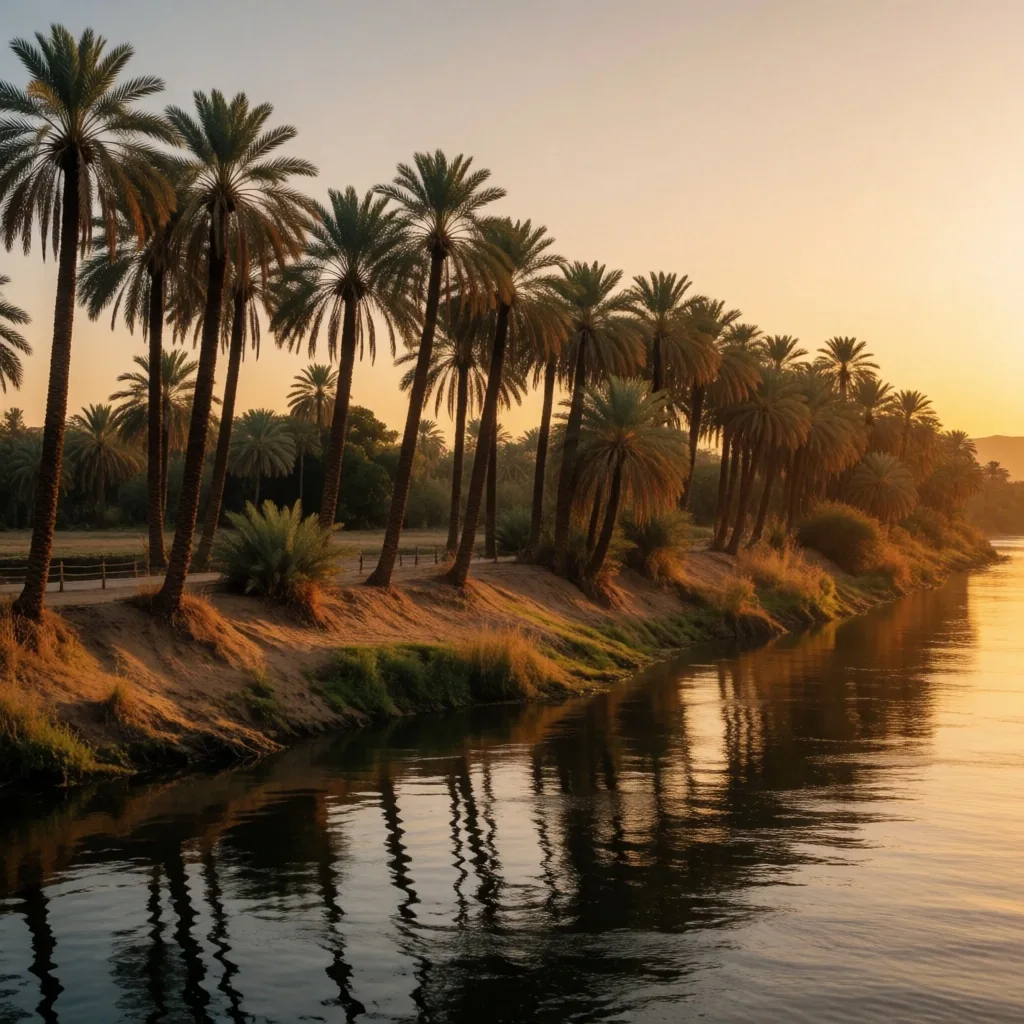
Date Palms
Shore-line trees providing fruit and shade along the whole valley
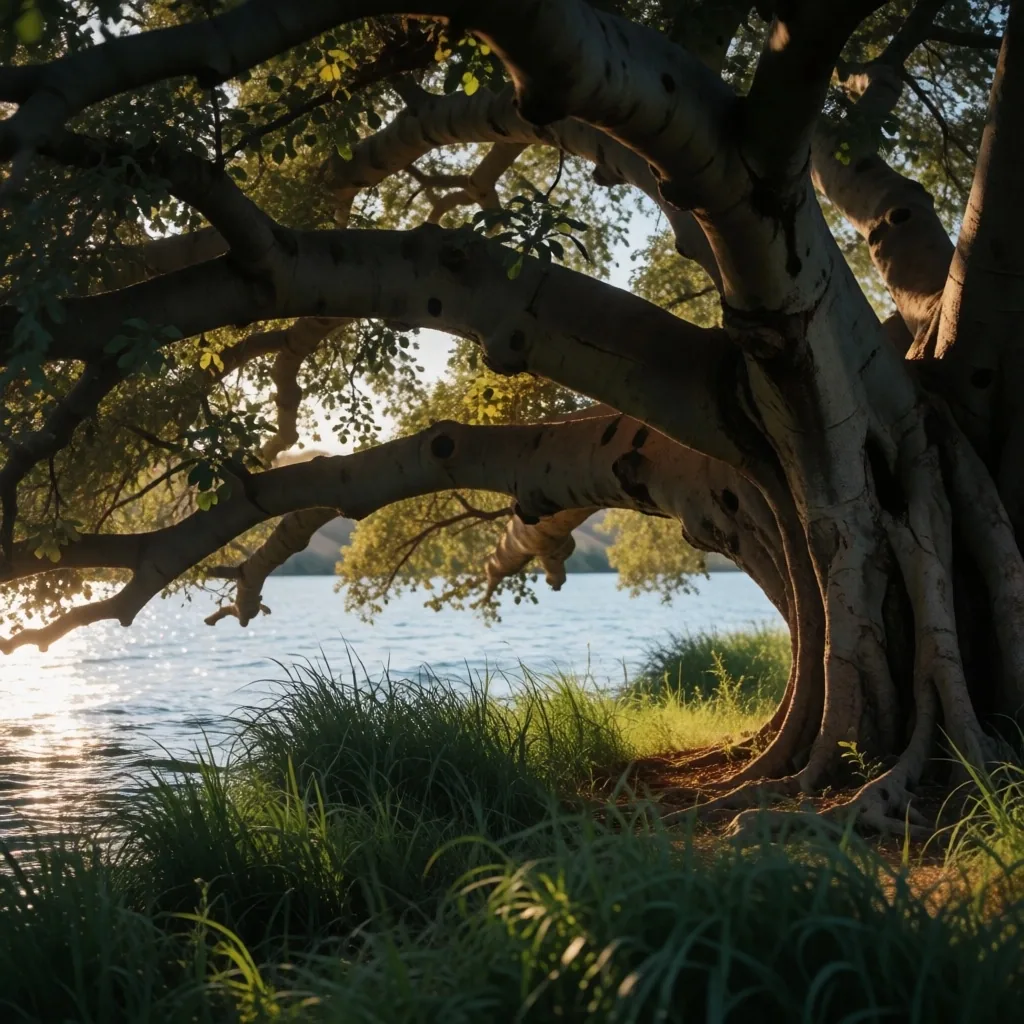
Sycamore Fig
Broad-canopied shade tree rooted in the damp riverside soil
These plants define the look of the riverbank. The cultivated fields behind them carry the same intensity of green, set against the tawny hills that frame the valley. Walking the edge where field meets wild reed gives you the clearest sense of how the Nile draws life from the stone and sand around it.
Birdlife of the Nile
The Nile is a major habitat for both resident and migratory birds. Herons, egrets, and kingfishers are common sights along the banks, often seen hunting in the shallows. During the winter months, the river becomes a haven for thousands of waterfowl fleeing the European cold.
The islands and reed beds provide essential nesting and feeding grounds. For the traveller into Egypt, birdwatching along the Nile is a rewarding way to connect with the local environment. The key is patience and timing — early morning and late afternoon are when the river is busiest with movement.
We highlight the best times of day and the types of habitats where you are most likely to see these avian residents. Quiet stretches near reed beds and shallow inlets around the islands are the most productive spots.
Best Time
Dawn and the hour before sunset, when birds hunt and the light is soft
Best Habitat
Shallow inlets, reed bed edges, and calm channels between granite islands
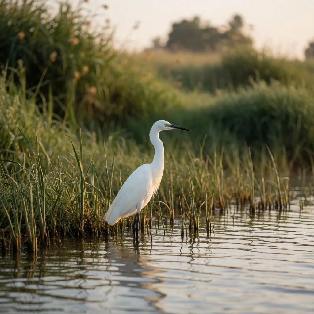
Egrets and herons hunt the shallows at dawn
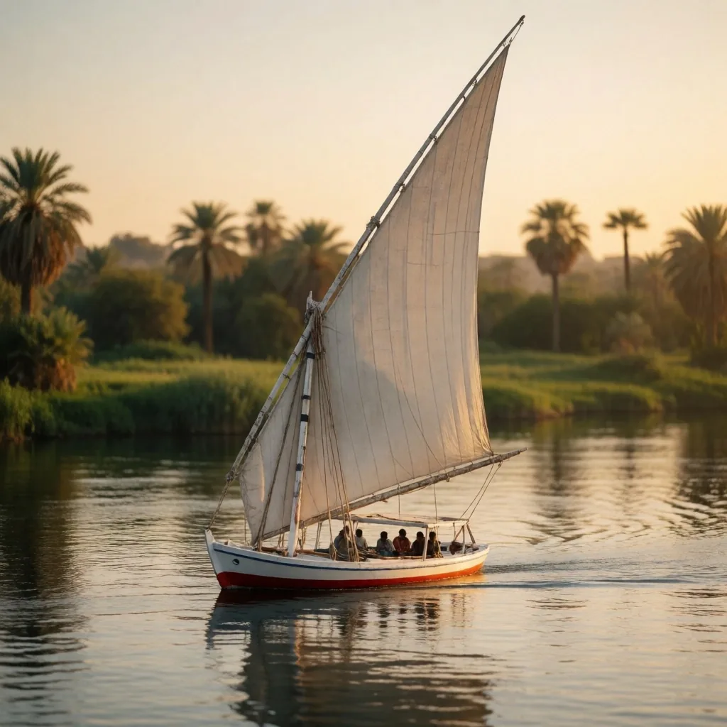
Traditional River Craft
For centuries, the Nile has been navigated using traditional wooden sailing boats known as feluccas. These vessels rely on the wind and the current, providing a quiet and sustainable way to experience the river. Sailing on one lets you move at the pace of the water, listening to the sound of the river and watching the banks glide by.
It is an essential experience for any traveller into Egypt who wants to feel the rhythm of the Nile. The silence of a sail — broken only by water against the hull and the creak of the wooden mast — is the closest you can get to the river itself.
Our egypt travelling guides recommend this traditional mode of transport for its minimal environmental impact and its connection to the river's history. No engine vibration, no exhaust — just wind, water, and the patient geography of the valley.
The Impact of the Flow
The flow of the Nile is now managed by a series of dams, which has changed the natural flood cycle but also created new environments. Large reservoirs like Lake Nasser in the south have their own unique ecology, with vast stretches of water surrounded by desert mountains.
Along the river itself, the water level remains relatively stable throughout the year, supporting permanent vegetation and consistent habitats for fish and other aquatic life. This stability means the reed beds and bank plants do not get scoured away each season — they mature, thicken, and form reliable cover.
Understanding these changes is part of appreciating the modern Nile as a managed but still vibrant natural system. The river you see today is neither the wild waterway of antiquity nor a sterile canal — it is a working landscape, alive and adjusted.
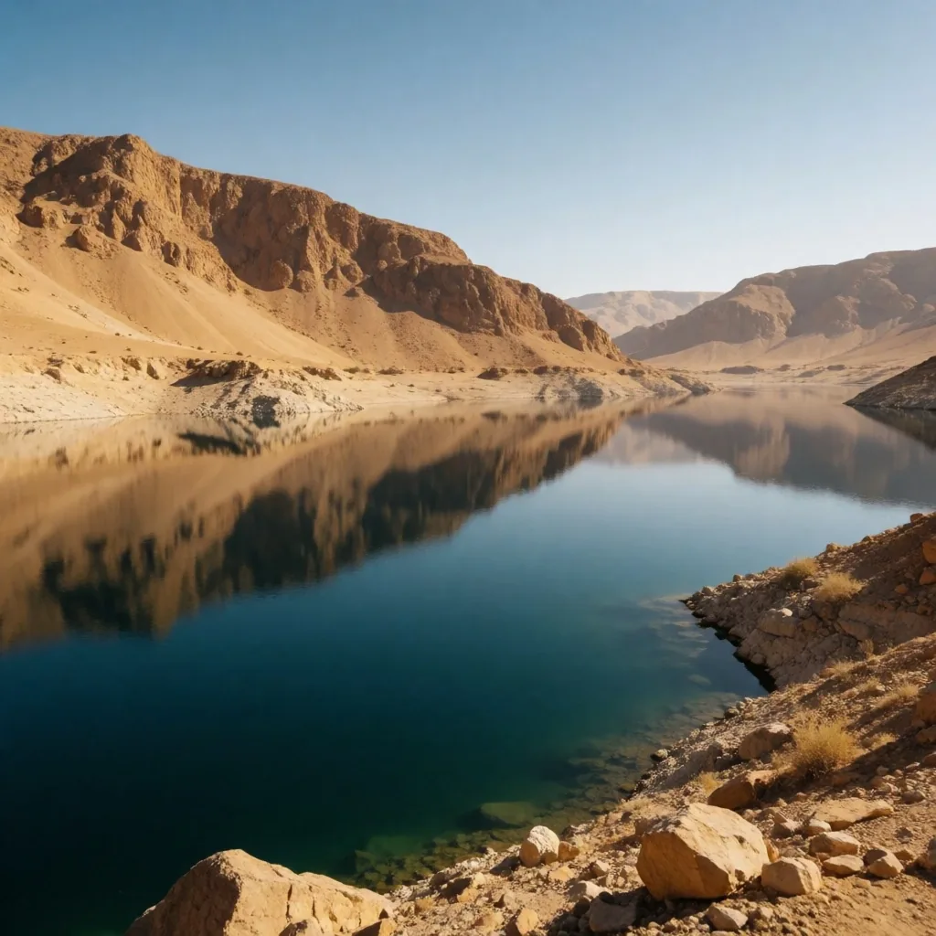
Reservoir ecology — water held between desert ranges
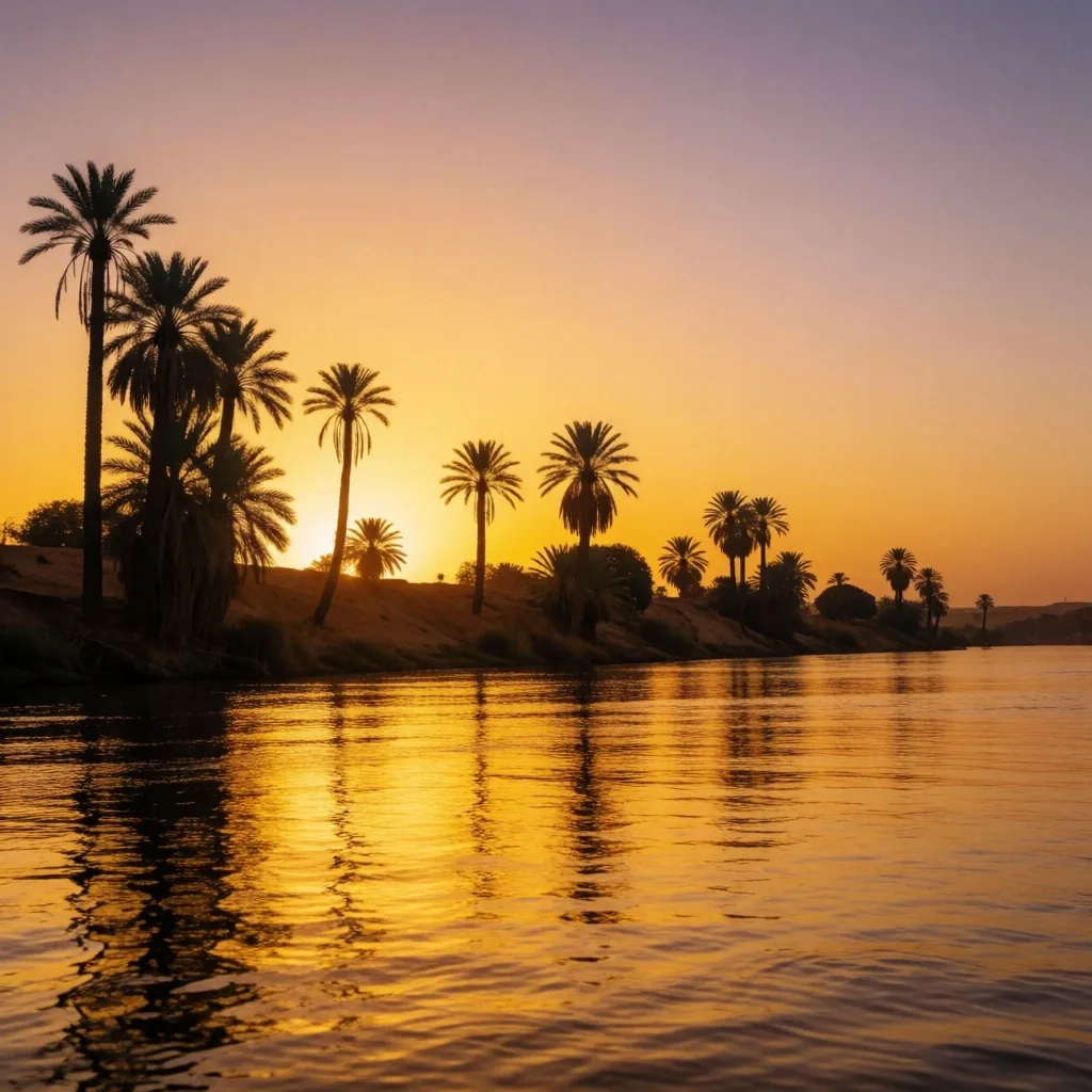
The Nile at Sunset
Sunset over the Nile is a spectacular sight, as the sky turns shades of pink and gold and the water reflects the fading light. The palms along the shore become silhouettes against the horizon, and the air begins to cool. It is a time when the river feels particularly peaceful.
We suggest several natural viewpoints along the river where you can enjoy the view without the noise of the city — quiet bends in the bank, small island edges, or the deck of a drifting felucca.
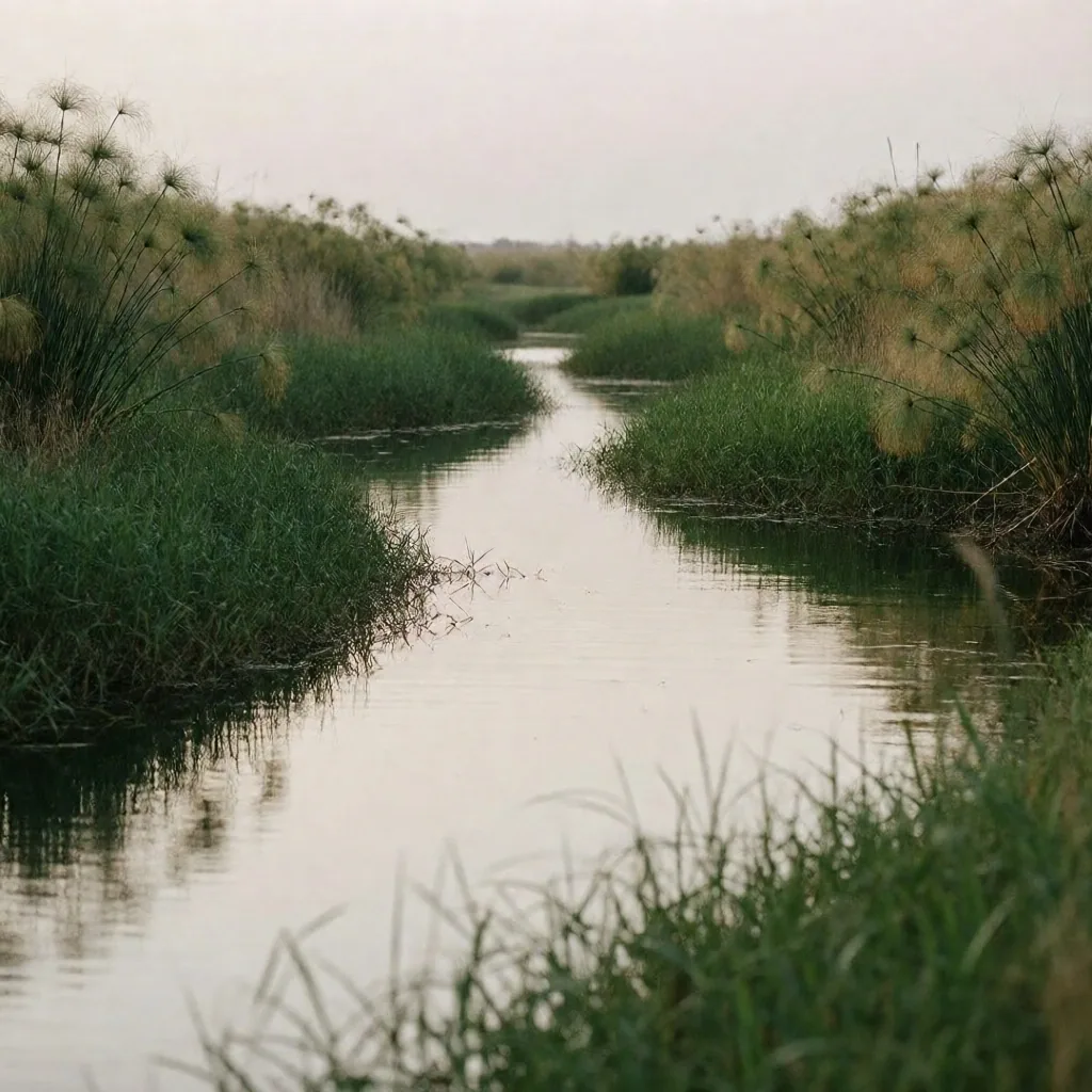
Where the river meets the sea
The Delta's Natural Reach
The Nile Delta is a vast, fan-shaped region where the river splits into two main branches and numerous smaller channels before entering the Mediterranean. This area is incredibly fertile and home to extensive wetlands and lagoons.
While much of the Delta is cultivated, there are still pockets of natural marshland that are vital for biodiversity. These pockets hold the densest bird and plant life on the river — the reeds tower, the channels narrow, and the ground is soft and dark.
Exploring the edge of the Delta offers a different perspective on the Nile, where the river meets the sea and the landscape becomes a maze of water and green. The scale shifts — you are no longer beside a river but inside a network, where every channel leads to another.
What to Expect
- Networks of narrow channels too small for large boats — explore by canoe or on foot
- Dense reed beds taller than a person, with clearings that open onto still water
- Brackish lagoons near the coast where freshwater meets salt, drawing mixed birdlife
Geological Transitions
The geology along the Nile is a record of the river's long history. In some places, you can see the layers of silt deposited over thousands of years, while in others, the underlying limestone or sandstone is exposed. The cliffs that border the valley are often filled with caves and natural formations created by water erosion.
Walking along the base of these cliffs gives a sense of the scale of the valley and the power of the river that carved it. The strata tell a story — dark bands of old silt, pale lines of limestone, and the occasional band of sandstone that fractures in clean geometric planes.
Our travel guides help you identify these geological features as you move through the different regions of the Nile. Knowing what you are looking at — whether it is a recent deposit or a stone laid down in an ancient sea — changes how you see the bank.
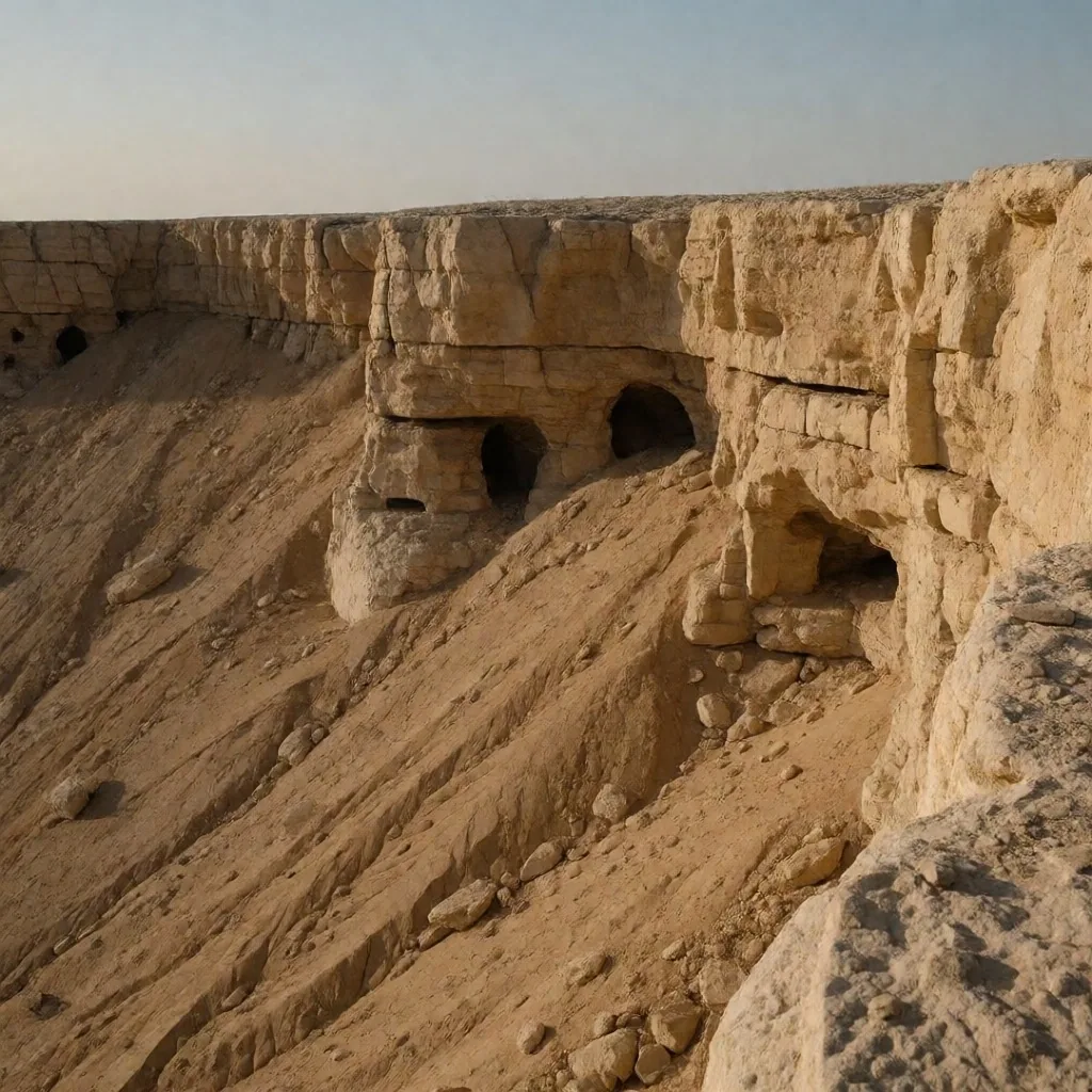
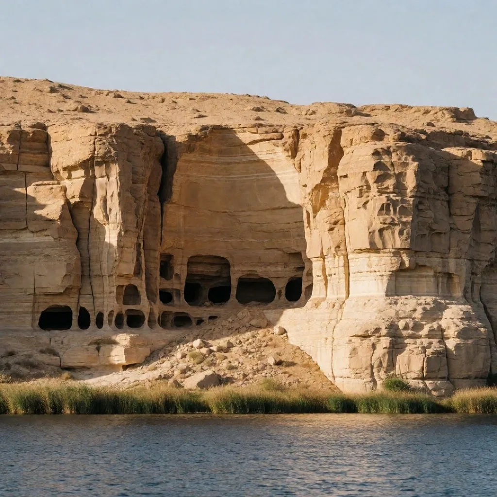
Silt layers and limestone — the valley's long record
Protecting the River
The health of the Nile is crucial for the future of Egypt. Pollution and water management are ongoing challenges that require collective effort to address. As a visitor, you can contribute by being mindful of your waste and by supporting initiatives that promote the river's cleanliness.
Understanding the importance of the Nile as a natural resource helps you appreciate the need for its protection. The river is not scenery — it is the water supply, the irrigation source, and the habitat for hundreds of species. What goes into it touches everything downstream.
We provide information on how to explore the river responsibly, ensuring that its beauty remains for future travellers to discover. Simple habits — carrying out what you carry in, keeping distance from nesting birds, choosing sail over motor — keep the riverbanks as you found them.
How to Explore Responsibly
- 1 Carry all waste out with you — the riverbank has no bins, and the current carries everything downstream
- 2 Keep a respectful distance from nesting birds, especially during winter migration months
- 3 Choose sail-powered boats over motorized craft where possible — quieter for wildlife, cleaner for the water
- 4 Stay on established paths on the bank to protect the reed beds and root systems that hold the soil
Where to Go Next
These egypt travelling guides cover the full range of natural environments along the waterway. Pick the stretch that fits your route, or work through them in order as you follow the current north.
Local Flora and Fauna
A wider field guide to the plants and animals of the Nile valley and its banks
River Exploration Tips
Practical guidance for timing, transport, and routes along the waterway
View Nile Maps
Orientation materials for the cataract region, the middle reaches, and the Delta
Coastal Retreats
Where the Nile Delta meets the sea — shore environments and quiet waterfronts
Need More Detail?
Ask us about river routes and viewpoints
If you are planning to follow the Nile and want specific guidance on sections, transport, or timing, we can help. Reach out and we will share what we know from the field.